
Mountain Odyssey Maps
MAP ARCHIVE |
||
DOLLY SODS, ROARING PLAINS AREA 24 K TRAIL MAPS |
||
Adobe Reader is needed to view these maps. Get Adobe Reader at http://www.adobe.com/products/acrobat/readstep2.html All maps are made to be printed on letter size paper (8.5X11.0 inches). Please follow the printing instructions on the first page of each map set. Make sure you have the Adobe Reader print dialog set to the page you want to print. You can save a copy of each map set on your computer by clicking the save button on the Adobe Reader tool bar. |
||
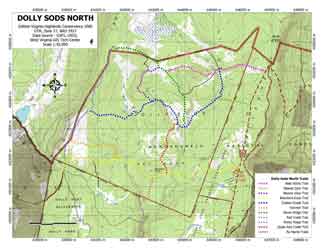
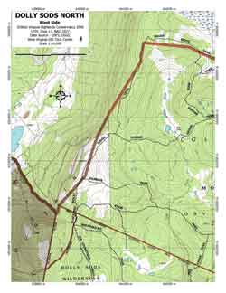
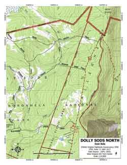
DOLLY SODS NORTH |
||
| This map set (pdf 1.15MB) has:
1 overview map at 2 tileable maps at |
 |
|
 |
 |
|
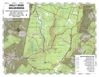
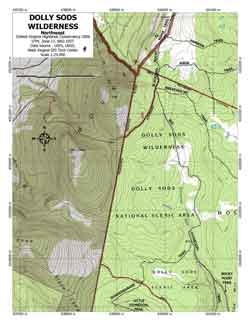
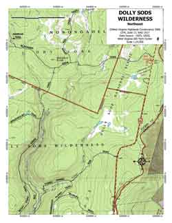
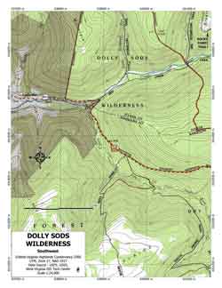
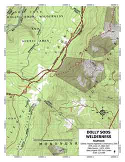
DOLLY SODS WILDERNESS |
||
| This map set (pdf 1.91MB) has.
1 overview map at 4 tileable maps at |
 |
|
 |
 |
|
 |
 |
|
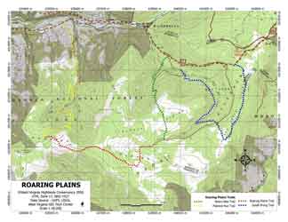
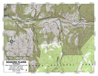
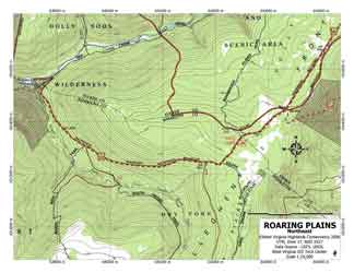
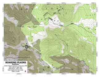
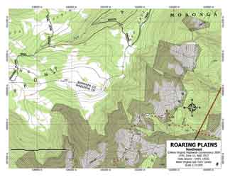
ROARING PLAINS |
||
| This map set (pdf 1.98MB) has.
1 overview map at 4 tileable maps at |
 |
|
To get a (pdf 4.89MB) of all three map sets together click here. |
 |
 |
 |
 |
|
West Virginia Highlands Conservancy ©2007-2013 - Site Design by Jim Solley